
1. Home
  2. Tap Room
  3. Walking trails
Walks from the Tap Room

Walking trailsNamed after our beers

Six trails through the High Weald, from a short family loop to a full day out. Each one is named after one of our beers, so you’ll know what to order when you get back.

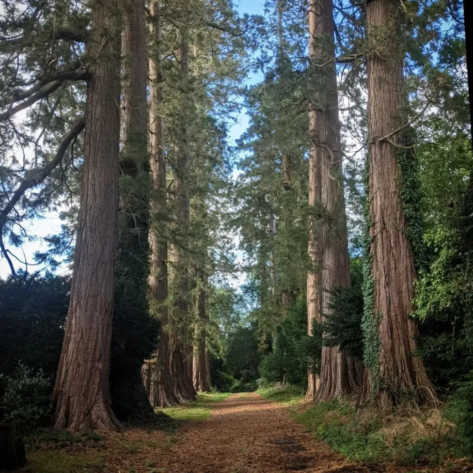
A path through tall trees in the Sussex woodlandThe High Weald, Sussex
Six trails

Pick your walkShortest to longest

Each trail opens on AllTrails, with the full map, directions and a version to follow on your phone.

Easy

Bonobo Trail

Distance
3.5 km 2.2 mi
Climb
49 m
Time
30 min to 1 hr

A short, family-friendly countryside loop through the High Weald towards the historic village of West Hoathly, with the 16th-century Cat Inn if you fancy a stop.

View on AllTrails
Moderate

Marmoset Trail

Distance
6.3 km 3.9 mi
Climb
158 m
Time
1½ to 2 hrs

Weaves through open fields and woodland corridors near the Gravetye Estate and Wakehurst.

View on AllTrails
Moderate

Gibbon Trail

Distance
8.7 km 5.4 mi
Climb
223 m
Time
2½ to 3 hrs

Explores the heart of the High Weald National Landscape, past shaded forest with greensand rock outcrops and a landscaped pond near Wakehurst.

View on AllTrails
Moderate

Chimpanzee Trail

Distance
9.8 km 6.1 mi
Climb
209 m
Time
2½ to 3 hrs

Wanders through ancient woodland, pine plantations and gill valleys with Ardingly sandstone crags, near Great-upon-Little.

View on AllTrails
Moderate

Baboon Trail

Distance
10.8 km 6.7 mi
Climb
265 m
Time
3 to 3½ hrs

A longer circular walk across rolling country lanes, grassy fields and woodland tracks, with gentle climbs and traditional timber stiles.

View on AllTrails
Hard

Howler Trail

Distance
17.5 km 10.9 mi
Climb
408 m
Time
4½ to 5 hrs

Our biggest day out, stretching towards the edge of the South Downs National Park along ancient green lanes, farm tracks and vineyards.

View on AllTrails
After your walk

Back for a pint

Fresh beer, food and a seat by the bar. Book a table so it’s waiting for you.

Find us

The Old Dairy, Chiddinglye Farm, Selsfield Road, East Grinstead, RH19 4QS

The map comes from Google Maps, which uses functional cookies.